Hurricane Leslie Forecast Discussion


000
WTNT43 KNHC 090837
TCDAT3

Hurricane Leslie Discussion Number  28
NWS National Hurricane Center Miami FL       AL132024
500 AM AST Wed Oct 09 2024

Conventional satellite imagery shows that Leslie's cloud pattern has 
changed little during the past few hours.  Earlier SSMIS and AMSU-B 
microwaves overpasses, however, indicated that Leslie's structure 
has become vertically tilted southeast to northwest, indicative of 
the previously mentioned mid-level southerly shear component.  A 
blend of the Dvorak satellite intensity estimates from TAFB and 
SAB and a 0610 UTC UW-CIMSS 72 kt SATCON analysis yield an 
initial intensity at 70 kt.

Although the undercutting shear is expected to persist, slight 
intensity fluctuations are possible today and tonight while Leslie 
moves through a marginally conducive thermodynamic environment and 
over warm oceanic surface temperatures.  Afterward, the global 
models show an upper-tropospheric anticyclone developing over the SW 
Atlantic, between Milton and Leslie.  This feature is expected to 
spread moderate northerly shear over the central subtropical 
Atlantic inhibiting ventilation aloft over the north portion of the 
cyclone.  Consequently, weakening is expected, and Leslie is 
forecast to quickly lose its associated convection and become a 
post-tropical cyclone in 3 days.

Leslie's initial motion is estimated to be northwestward, 310/9 kt, 
and this general motion is expected to continue during the next 
couple of days.  By mid-period, the cyclone is forecast to slow in 
forward speed and turn toward the north while rounding the 
southwestern periphery of a subtropical ridge to the northeast.  
Afterward, Leslie should accelerate and turn toward the northeast in 
response to a major shortwave trough approaching the cyclone from 
the northeast.  The NHC forecast is close to the previous one and is 
based on a compromise of the TVCN and HCCA consensus models.

Leslie's wind radii were adjusted based on 2354 UTC METOP-B and 0049 
UTC METOP-C scatterometer passes.


FORECAST POSITIONS AND MAX WINDS

INIT  09/0900Z 21.2N  47.8W   70 KT  80 MPH
 12H  09/1800Z 22.0N  48.6W   75 KT  85 MPH
 24H  10/0600Z 23.0N  49.5W   75 KT  85 MPH
 36H  10/1800Z 23.9N  50.0W   65 KT  75 MPH
 48H  11/0600Z 25.4N  50.0W   55 KT  65 MPH
 60H  11/1800Z 27.6N  48.8W   45 KT  50 MPH
 72H  12/0600Z 30.0N  46.1W   40 KT  45 MPH...POST-TROPICAL
 96H  13/0600Z 34.3N  36.8W   35 KT  40 MPH...POST-TROPICAL
120H  14/0600Z 35.4N  28.9W   30 KT  35 MPH...POST-TROP/REMNT LOW

$$
Forecaster Roberts

Originally Posted at:
NATIONAL HURRICANE CENTER and CENTRAL PACIFIC HURRICANE CENTER
At The NATIONAL OCEANIC AND ATMOSPHERIC ADMINISTRATION


Stay Updated with news.freeptomaineradio.com’s Daily Newsletter

Stay informed! Subscribe to our daily newsletter to receive updates on our latest blog posts directly in your inbox. Don’t let important information get buried by big tech.


Current subscribers:

  • NHC

    Related Posts

    Tropical Storm Sara Public Advisory

    …SARA NEARLY STATIONARY AND PRODUCING TORRENTIAL RAINFALL WITH POTENTIALLY CATASTROPHIC FLOODING AND MUDSLIDES FOR PORTIONS OF CENTRAL AMERICA…
    As of 12:00 AM CST Sat Nov 16
    the center of Sara was located near 16.1, -86.3
    with movement Stationary.
    The minimum central pressure was 999 mb
    with maximum sustained winds of about 45 mph.

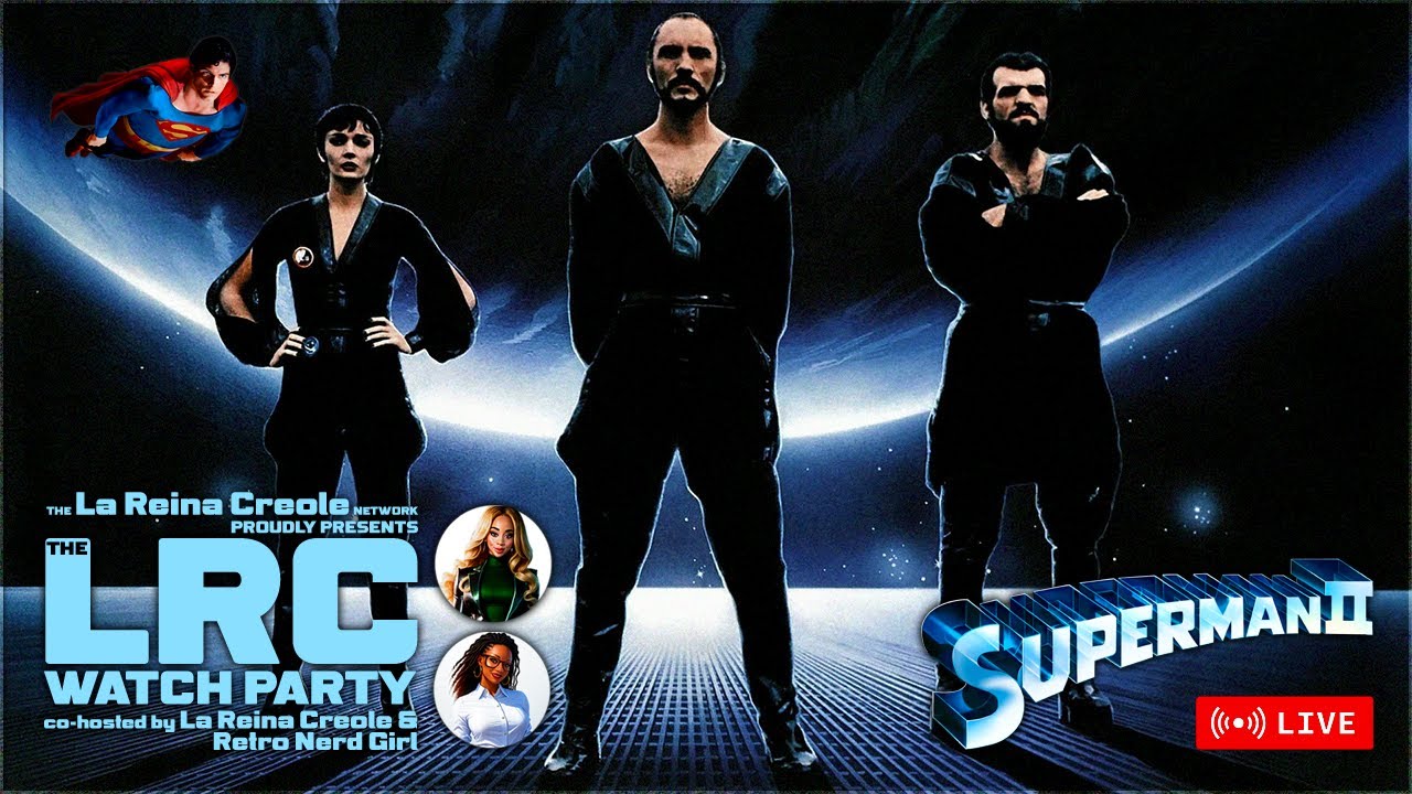
    SUPERMAN II (1980) Full Movie and Commentary | The LRC Watch Party | SciFi

    Subscribe to @LaReinaCreole

    🌴How You Can Support the Channel
    ****************************************************************
    😎 Tip Jar — https://streamelements.com/lareinacreole/tip
    😎 Become a Channel Member — https://www.youtube.com/channel/UC2-WFEeMZEQw3BF8hKeA20A/join
    😎 Check out my merch! — https://www.teepublic.com/user/la-reina-creole
    SEND ME SOMETHING! 😁
    👇🏾👇🏾👇🏾👇🏾👇🏾
    3956 Town Center Blvd
    Suite 454
    Orlando, FL 32837

    🌴Let's Get 'Social'
    ****************************************************************
    😎 Twitter — https://twitter.com/LaReinaCreole
    😎 Instagram — https://instagram.com/LaReinaCreole
    😎 Email — lareinacreole@gmail.com

    ****************************************************************

    La Reina Creole is a an American writer, content creator, and pop culture analyst. She is known for her witty and insightful commentary on science fiction, fantasy, and theme parks. She also hosts the YouTube channel La Reina Creole, where she discusses a variety of topics related to pop culture and fandom.

    La Reina Creole started her YouTube channel in 2019. Her videos have been viewed over 1 million times. She has also been featured in publications such as The Huffington Post, The Nerdist, and The Verge.

    La Reina Creole is a rising star in the world of pop culture criticism and commentary. She is a witty, insightful, and thought-provoking voice. She is known for her sharp wit, her deep knowledge of pop culture, and her willingness to speak her mind. She is a refreshing voice in a world that is often too afraid to challenge the status quo. She is sure to continue to be a force in the industry for years to come.

    Here are some links to her social media accounts:

    Twitter: https://twitter.com/LaReinaCreole
    YouTube: https://www.youtube.com/channel/UC2-WFEeMZEQw3BF8hKeA20A
    Instagram: https://www.instagram.com/lareinacreole/

    You Missed

    Tropical Storm Sara Public Advisory

    • By NHC
    • November 16, 2024
    • 0 views

    SUPERMAN II (1980) Full Movie and Commentary | The LRC Watch Party | SciFi

    SUPERMAN II (1980) Full Movie and Commentary | The LRC Watch Party | SciFi

    America Calls For Sanity And Prosperity

    America Calls For Sanity And Prosperity

    Tropical Storm Sara Public Advisory Number 10

    • By NHC
    • November 15, 2024
    • 2 views

    Zelensky says Ukraine war will end ‘sooner’ with Trump in office

    Zelensky says Ukraine war will end ‘sooner’ with Trump in office

    Tropical Storm Sara Public Advisory Number 9A

    • By NHC
    • November 15, 2024
    • 4 views