
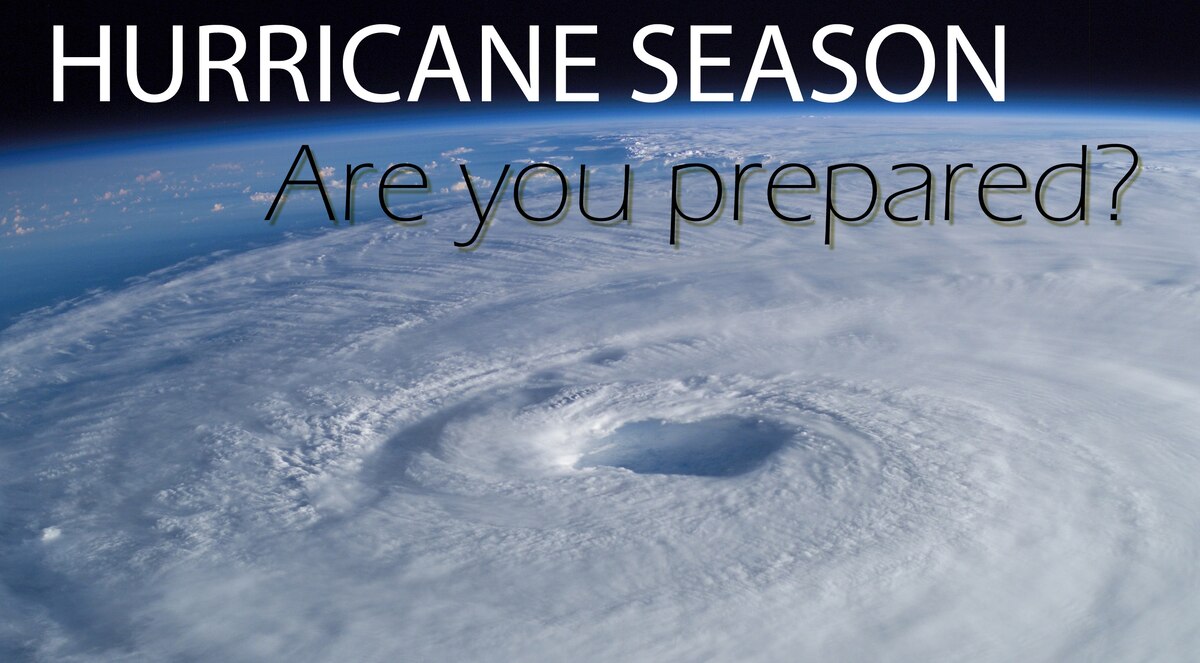
Hurricane Ernesto Public Advisory
000
WTNT35 KNHC 171155
TCPAT5
BULLETIN
Hurricane Ernesto Intermediate Advisory Number 23A
NATIONAL WEATHER SERVICE, National Hurricane Center Miami FLORIDA AL052024
8:00 A.M. ATLANTIC STANDARD TIME Sat Aug 17 2024
- ERNESTO’SOUTH, CENTER BEGINNING TO MOVE AWAY FROM BERMUDA AND WINDS HAVE PICKED BACK UP ON THE ISLAND
- HAZARDOUS CONDITIONS WILL CONTINUE ON BERMUDA THROUGH THIS EVENING
SUMMARY OF 8:00 A.M. ATLANTIC STANDARD TIME 12:00 COORDINATED UNIVERSAL TIME INFORMATION
LOCATION 32.6 NORTH 64.6 WEST
ABOUT 15 MILES, 25 KILOMETERS NORTH NORTHEAST, OF BERMUDA
MAXIMUM SUSTAINED WINDS 85 MILES PER HOUR, 140 KILOMETERS PER HOUR
PRESENT MOVEMENT NORTH NORTHEAST, OR 20 DEGREES AT 9 MILES PER HOUR, 15 KILOMETERS PER HOUR
MINIMUM CENTRAL PRESSURE 974 MILLIBAR, 28.76 INCHES
WATCHES AND WARNINGS
CHANGES WITH THIS ADVISORY: None.
SUMMARY OF WATCHES AND WARNINGS IN EFFECT:
A Hurricane Warning is in effect for
- Bermuda
- A Hurricane Warning means that hurricane conditions are expected somewhere within the warning area.
Interests in Atlantic Canada should monitor the progress of Ernesto. - For storm information specific to your area, please monitor products issued by your national meteorological service.
DISCUSSION AND OUTLOOK
- At 8:00 A.M. ATLANTIC STANDARD TIME (12:00 COORDINATED UNIVERSAL TIME), the center of Hurricane Ernesto was located near latitude 32.6 North, longitude 64.6 West.
Ernesto is moving toward the north northeast near 9 Miles Per Hour, (15 Kilometers Per Hour), and this general motion is expected today.
A faster northeastward motion is then expected late this weekend into early next week.
On the forecast track, the center of Ernesto is expected to slowly depart Bermuda today and move near or east of Newfoundland Monday night.
Maximum sustained winds are near 85 Miles Per Hour, (140 Kilometers Per Hour) with higher gusts.
Little change in strength is forecast today.
Some re intensification is possible late in the weekend before weakening begins on Monday.
Ernesto is a large tropical cyclone.
Hurricane force winds extend outward up to 70 miles (110 Kilometers) from the center and tropical storm force winds extend outward up to 240 miles (390 Kilometers).
The estimated minimum central pressure based on dropsonde data is 974 Millibar, (28.76 inches).
HAZARDS AFFECTING LAND
Key messages for Ernesto can be found in the Tropical Cyclone Discussion under AWIPS header MIATCDAT5 and WMO header WTNT45 KNHC and on the web at
hurricanes.gov/text/MIATCDAT5.shtml
WIND:
Hurricane conditions are expected on Bermuda through the next several hours.
Due to Ernesto’s large size and slow motion, strong winds will continue on the island through most of today into this evening.
STORM SURGE:
A dangerous storm surge is expected to produce significant coastal flooding on Bermuda in areas of onshore winds.
Near the coast, the surge will be accompanied by large and destructive waves.
RAINFALL:
Ernesto is expected to produce total rain accumulations of 6 to 9 inches or 150 to 225 milimeter on Bermuda.
This rainfall will likely result in considerable life threatening flash flooding, especially in low lying areas on the island.
SURF:
Swells generated by Ernesto are affecting portions of the the Bahamas, Bermuda, and the east coast of the United States.
These swells will likely reach portions of Atlantic Canada today.
Life threatening surf and rip current conditions are likely in these areas during the next couple of days.
Please consult products from your local weather office, and stay out of the water if advised by lifeguards.
NEXT ADVISORY
Next complete advisory at 11:00 A.M. ATLANTIC STANDARD TIME.
$$
Forecaster Berg
Originally Posted at:
NATIONAL HURRICANE CENTER and CENTRAL PACIFIC HURRICANE CENTER
At The NATIONAL OCEANIC AND ATMOSPHERIC ADMINISTRATION
Stay Updated with news.freeptomaineradio.com’s Daily Newsletter
Stay informed! Subscribe to our daily newsletter to receive updates on our latest blog posts directly in your inbox. Don’t let important information get buried by big tech.
Current subscribers:


