Authored by Josiah Lippincott via American Greatness,
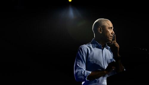
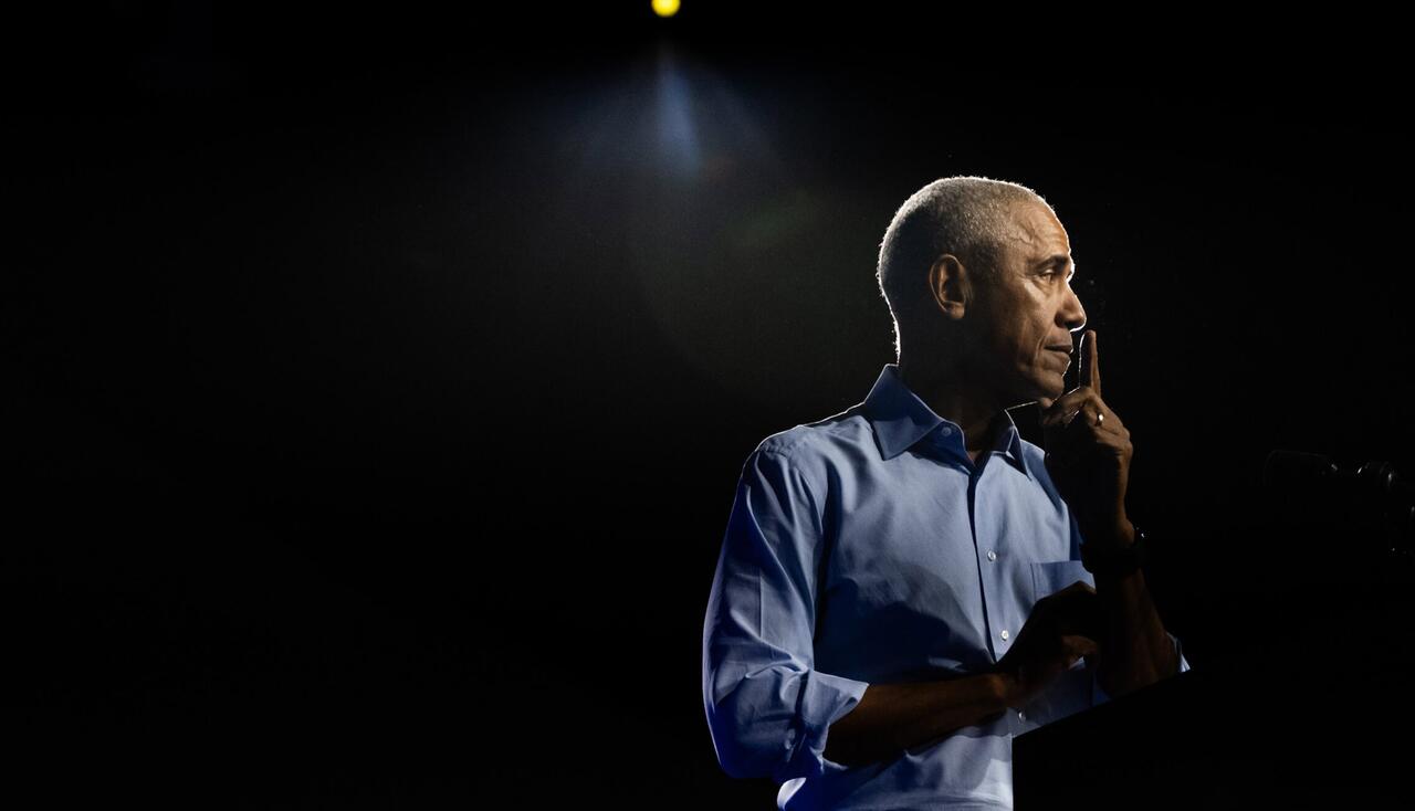
Liberals who are in the throes of capitulation and despair after Donald Trump’s crushing electoral and popular vote win can lay blame for their disastrous loss at the feet of one man: Barack Hussein Obama.
Obama built the Trump wave. His failure to live up to the promises of his populist 2008 run has cursed the Democratic Party, probably for a generation. The Washington DC establishment in just two short months is going to get “scholonged” by an angry and vengeful Trump, ready to rain executive hellfire on the bureaucrats and institutions that have spent the last nine years fighting him tooth and nail.
All of this could have been prevented. In 2008, Obama swept into power with a crushing electoral college and popular vote majority. He won Iowa, Florida, Ohio, and North Carolina. He even won Indiana. Democrats swept into power in Congress with a 74-seat lead in the House, nearly 59% of seats, and were gifted with a magical 60-seat filibuster-proof supermajority in the Senate.
This was a generational victory, a sign that voters were fed up with politics as usual and the failures of the GOP and the Washington and Wall Street establishment as such. This victory wasn’t just about electing the first Black president, though that was important: The policies and platform at stake appealed deeply to voters.
It is worth remembering what exactly those policies were.
Obama promised to end the war in Iraq, end the Afghanistan war with honor, help the economy by reducing health care costs (prioritizing “Main Street” over Wall Street), and bring about a new era of racial harmony. Moreover, Obama explicitly eschewed radical leftist politics. He explicitly defended traditional marriage. In his DNC nomination speech, he condemned employers who “undercut American wages by hiring illegal workers.”
Obama ran a campaign on bringing “change” to DC. He made much of his status as a newcomer who lacked the “typical pedigree” of a candidate for the nation’s highest office.
Put another way, Obama won a decisive victory in 2008 by campaigning as a Washington outsider bent on ending foreign wars, boosting the economy by helping ordinary people, and being a moderate on social issues like abortion and gay marriage. Does this message sound familiar? It should.
In broad measure, it is the same formula that brought Donald Trump to power in 2016 and has given him, like Obama, unified control over the executive and legislative branches after a crushing electoral and popular vote win.
Obama’s hubris is the reason the Democratic Party stands here today—powerless in the face of “Orange Hitler.”
Obama did not close Guantanamo Bay, he ended the Iraq War only to get sucked back in, killed Osama Bin Laden but kept troops in Afghanistan, started wars in Libya and Syria, and, most damningly, inflamed racial tensions when he had a chance to calm them.
Far from being a moderate on social issues, Obama was the president whose picks for the Supreme Court rammed gay marriage down Americans throats after it had suffered numerous state-level electoral setbacks, including in California of all places in the very election that brought Obama to power!
Obama’s pledge to reduce health care costs in 2008 did not come with an individual mandate to purchase health insurance. The final bill that snaked its way through Congress and was signed into law did contain such a penalty. Instead of lowering health care costs, Americans watched as their premiums went up.
Instead of fewer foreign wars, we got more. Instead of declaring victory after the death of the mastermind behind 9/11, we got eight more years of war. On every front, Obama didn’t just fail to follow through on his mandate, he actively worked for the opposite outcome.
Obama lacked the strength of character and will to follow through on his promises and to deliver the shake-up in Washington that he promised. He was more concerned with hanging out with celebrities and being cool than facing down his own Party’s bosses to deliver on the promises he made to the American people. Nancy Pelosi, 16 years later, still remains one of the most powerful figures in the Party.
Americans sent a refined, urbane, grassroots college professor to do their bidding in DC. When he failed, they decided to send their message in a language that no one could misunderstand. They sent Trump.
Trump is everything Obama is not: loud, dominating, and brash. There is none of Obama’s snark in his demeanor. And, unlike Obama, Trump has proven durable and faithful. Unlike Obama, Trump has built on his popular vote total with each successive election.
Nothing can stop him: not the GOP leadership class (compare Paul Ryan and Nancy Pelosi’s careers), not the bureaucracy, not the media, not even an assassin’s bullet. Trump is the avenging angel of American populist rage. The post-1945 world order—especially after the fall of the Soviet Union—was supposed to deliver peace and prosperity on an untold scale.
Instead, we’ve gotten more war, more debt, and more of our economy shipped overseas. Americans, even those who are successful, live in a world increasingly pockmarked by obesity, homelessness, crazed radicalism, and a flood of foreigners looking for a hand-out.
This was not what we were promised! Looking back on the last two decades of war in the Middle East, what can anyone say we won in these places? Peace? Stability? The region is as broken and violent as ever. The 9/11 hijackers all came in legally. No one has ever solved that problem or even acknowledged that it existed.
Moreover, the wars never end. Trump is the only president in my lifetime not to get us engaged in any new conflicts, but even he wasn’t able to bring the troops home from Afghanistan in his first term. Biden did, but then immediately hauled the nation back into war in Europe.
We are never allowed to be neutral, never allowed to focus on ourselves, never allowed to rest. Millions of migrants invade our southern border and flood our communities with drugs that kill more than a hundred thousand Americans yearly and not one politician in DC blinks. They care infinitely more about Ukraine’s border than our own. Americans are fed up with this attitude.
Obama’s failures on race were the most striking feature of his presidency and have done the most lasting damage. Race relations have hit an all-time low. Obama could have put a lot of the turmoil to rest, using his position as the first Black president as a way to shore up confidence in our institutions. He could have brought the Civil Rights movement to an end, insisting that our work now was not to gain equality but to preserve the hard and painful work we’d already accomplished. But no. Instead we got George Floyd and the 2020 Summer of Love, in which a dozen major American cities burned because a career criminal died in police custody from an overdose.
And every year, some new cause gets added to the pantheon of aggrieved minorities demanding social justice. First, it was gay marriage; now it is transgenderism. God only knows what will come next. Furries? Polycules? Worse? With each new wave of leftist radicalism has come vicious shrieking from activists aimed at ordinary Americans. The latest cause—the post-COVID explosion of transgenderism—has touched ordinary Americans’ lives in a way that even homosexuality did not.
The LGBT wave has finally hit upon children and teens with its full force. The loss of community and the social upheaval of the COVID period has resulted in a generation of youth particularly susceptible to the promises of transgender identity.
Speaking of COVID, the American medical establishment worked for two whole years to end normal life, destroy free association, and impose draconian measures on the population.
Once the COVID paranoia died down, the regime immediately turned to trying to put the opposition leader into prison for made-up crimes. That all-out media and legal blitz ended with two attempted assassination attempts, one that nearly blew the president’s head off on live television.
The supposedly “apolitical” military, medical, media and legal establishments have shorn themselves of any pretense of neutrality. They have thrown their lot in with the Democratic Party and its most radical wing.
None of this had to happen.
Obama had a golden chance in 2008 to lock in Democratic rule for a generation. All he had to do was follow through. He had to keep his word and he needed to stand up to his own party when they sought to drag him back into their moribund consensus. But Obama chose wealth and respectability over doing the right thing.
He chose to divide the country further instead of rallying it around a new multi-racial coalition dedicated to peace abroad and prosperity at home. Trump has inherited that mantle. Here, in his second term, Trump finally has the full, unquestionable mandate that once rested on Obama’s shoulders.
If he succeeds, the GOP can expect decades of political and cultural dominance. The Trump era will last far beyond Trump’s actual death. There is reason to hope, as well. Trump’s first term and his years in the wilderness have armed him with a better knowledge of DC and a clearer understanding of the qualities and allies he needs to advance his goals.
His slate of cabinet picks is hated by the DC chatterati. This bodes well. Clean house. Go to war. Trump has nothing to lose and everything to gain.
All he needs to do is deliver. He needs to give the voters what he promised them: mass deportations, increased election security, and no new wars. Do those things on Day 1 and the Republicans have 2026 sewn up. Get us out of Ukraine and deliver real economic growth and JD Vance is a lock for 2028. It really is that simple.
Trump has everything he needs. Now all that remains is to act.


