
000
WTNT31 KNHC 110545
TCPAT1
BULLETIN
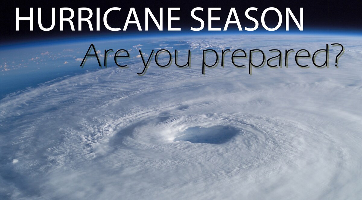
Hurricane Francine Intermediate Advisory Number 10A
National Weather Service National Hurricane Center Miami Florida AL062024
1:00 A.M. Central Daylight Time Wed Sep 11 2024
- FRANCINE A LITTLE STRONGER
- LIFE-THREATENING STORM SURGE AND HURRICANE-FORCE WINDS EXPECTED TO BEGIN IN LOUISIANA LATER TODAY
SUMMARY OF 1:00 A.M. Central Daylight Time 06:00 Coordinated Universal Time INFORMATION
LOCATION 26.6 NORTH 94.1 WEST
ABOUT 195 MILES, 315 KILOMETERS ENE OF MOUTH OF THE RIO GRANDE
ABOUT 275 MILES, 445 KILOMETERS SW OF MORGAN CITY LOUISIANA
MAXIMUM SUSTAINED WINDS 90 MILES PER HOUR 150 KILOMETERS PER HOUR
PRESENT MOVEMENT NE OR 35 DEGREES AT 10 MILES PER HOUR 17 KILOMETERS PER HOUR
MINIMUM CENTRAL PRESSURE 977 MILLIBAR, 28.85 INCHES
WATCHES AND WARNINGS
CHANGES WITH THIS ADVISORY:
None.
SUMMARY OF WATCHES AND WARNINGS IN EFFECT:
A Storm Surge Warning is in effect for
- Cameron Louisiana to the Mississippi/Alabama Border
- Vermilion Bay
- Lake Maurepas
- Lake Pontchartrain
A Hurricane Warning is in effect for
- The Louisiana coast from Vermilion/Cameron Line eastward to Grand Isle
A Storm Surge Watch is in effect for
- Mississippi/Alabama Border to the Alabama/Florida Border
- Mobile Bay
A Hurricane Watch is in effect for
- Lake Maurepas and Lake Pontchartrain, including metropolitan New Orleans
A Tropical Storm Warning is in effect for
- Louisiana coast east of Sabine Pass to Vermilion/Cameron Line
- East of Grand Isle Louisiana to the Alabama/Florida border
- Lake Maurepas and Lake Pontchartrain, including metropolitan New Orleans
- A Storm Surge Warning means there is a danger of life-threatening inundation, from rising water moving inland from the coastline, during the next 36 hours in the indicated locations.
- A Storm Surge Watch means there is a possibility of life-threatening inundation,from rising water moving inland from the coastline, in the indicated locations during the next 48 hours.
- For a depiction of areas at risk, please see the National Weather Service Storm Surge Watch/Warning Graphic, available at hurricanes.gov.
- This is a life-threatening situation.
- Persons located within these areas should take all necessary actions to protect life and property from rising water and the potential for other dangerous conditions.
- Promptly follow evacuation and other instructions from local officials.
- A Hurricane Warning means that hurricane conditions are expected somewhere within the warning area, in this case within 24 hours.
- Preparations to protect life and property should be rushed to completion.
- A Hurricane Watch means that hurricane conditions are possible within the watch area, in this case within 24 to 36 hours.
- A Tropical Storm Warning means that tropical storm conditions are expected somewhere within the warning area, in this case within 24 to 36 hours.
- For storm information specific to your area, including possible inland watches and warnings, please monitor products issued by your local National Weather Service forecast office.
DISCUSSION AND OUTLOOK
- At 1:00 A.M. Central Daylight Time (06:00 Coordinated Universal Time), the center of Hurricane Francine was located near latitude 26.6 North, longitude 94.1 West.
- Francine is moving toward the northeast near 10 MILESS PER HOUR (17 KILOMETERS PER HOUR).
- A faster northeastward motion is expected today, and Francine is anticipated to make landfall in Louisiana within the warning area this afternoon or evening.
- After landfall, the center is expected to move northward into Mississippi tonight and Thursday.
- Data from the Air Force Hurricane Hunters indicate that maximum sustained winds have increased to near 90 MILES PER HOUR (150 KILOMETERS PER HOUR) with higher gusts.
- Some additional strengthening is expected this morning.
- Francine is expected to weaken quickly after it moves inland.
- Hurricane-force winds extend outward up to 35 miles (55 KILOMETERS) from the center and tropical-storm-force winds extend outward up to 115 miles (185 KILOMETERS).
- The minimum central pressure based on data from the Air Force Hurricane Hunters is 977 MILLIBAR, (28.85 inches).
HAZARDS AFFECTING LAND
Key messages for Hurricane Francine can be found in the Tropical Cyclone Discussion under AWIPS header MIATCDAT1 and WMO header WTNT41 KNHC.
WIND:
- Hurricane conditions are expected within the hurricane warning area this afternoon, with tropical storm conditions arriving in the warning area this morning.
- Hurricane conditions are possible in the hurricane watch area this afternoon and tonight.
- Tropical storm conditions are expected in the warning area along the coasts of Louisiana, Mississippi, and Alabama today and tonight.
RAINFALL:
- Francine is expected to bring storm total rainfall of 4 to 8 inches, with local amounts to 12 inches across eastern Louisiana, Mississippi, far southern Alabama and the western Florida Panhandle through Friday morning.
- This rainfall could lead to considerable flash and urban flooding.
- For a complete depiction of forecast rainfall associated with Francine, please see the National Weather Service Storm Total Rainfall Graphic, available at
- and the Flash Flood Risk graphic at
STORM SURGE:
The combination of a dangerous storm surge and the tide will cause normally dry areas near the coast to be flooded by rising waters moving inland from the shoreline.
The water could reach the following heights above ground somewhere in the indicated areas if the peak surge occurs at the time of high tide
- Vermilion/Cameron Line, LOUISIANA to Port Fourchon, LOUISIANA 5 TO 10 feet
- Vermilion Bay 5 TO 10 feet
- Port Fourchon, LOUISIANA to Mouth of the Mississippi River, LOUISIANA 4 TO 7 feet
- Cameron, LOUISIANA to Vermilion/Cameron Line, LOUISIANA 3 TO 5 feet
- Pointe a la Hache, LOUISIANA to Mississippi/ALABAMA Border 3 TO 5 feet
- Lake Pontchartrain and Lake Maurepas 3 TO 5 feet
The deepest water will occur along the immediate coast near and to the east of the landfall location, where the surge will be accompanied by large and dangerous waves.
Surge-related flooding depends on the relative timing of the surge and the tidal cycle, and can vary greatly over short distances.
Storm surge is not expected to pose a threat to the risk reduction system levees.
However, there may be some overtopping of local levees.
For information specific to your area, please see products issued by your local National Weather Service forecast office.
For a complete depiction of areas at risk of storm surge inundation, please see the National Weather Service Peak Storm Surge Graphic, available at
TORNADOES:
- A few tornadoes are possible today into tonight across parts of southeast Louisiana, southern Mississippi, southern Alabama, and the Florida Panhandle.
SURF:
- Swells generated by Francine are affecting much of the northern and northwestern Gulf Coast, likely causing life-threatening surf and rip current conditions.
- Please consult products from your local weather office.
NEXT ADVISORY
Next complete advisory at 4:00 A.M. Central Daylight Time.
$$
Forecaster Reinhart
Originally Posted at:
NATIONAL HURRICANE CENTER and CENTRAL PACIFIC HURRICANE CENTER
At The NATIONAL OCEANIC AND ATMOSPHERIC ADMINISTRATION
Stay Updated with news.freeptomaineradio.com’s Daily Newsletter
Stay informed! Subscribe to our daily newsletter to receive updates on our latest blog posts directly in your inbox. Don’t let important information get buried by big tech.
Current subscribers: