Authored by Larry Sand via American Greatness,
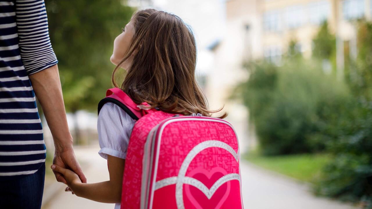
On Oct. 31, Brittany Patterson, a 41-year-old Georgia mother, was arrested and accused of endangering her son – all because the unsupervised 10-year-old walked less than a mile away from home. Patterson told NBC News in an interview, “It’s not a super dangerous or even dangerous-at-all stretch of road. I wasn’t terrified for him or scared for his safety.”
Nevertheless, the sheriff’s department went to the family’s home, where Patterson was handcuffed, arrested, booked on suspicion of reckless conduct, and forced to post $500 bail.
Parenting expert Dawn Friedman responded to the arrest by declaring, “We used to allow children some freedoms that we no longer allow them. And I don’t think that’s to their benefit or to ours.”
Lenore Skenazy, the founder of Free-Range Kids, weighed in. “The crime was that she didn’t know where her kid was for a little while because she’d left them at home. And to her surprise, he didn’t stay home. It’s just so normal. And to make that into a crime is insane.”
Sadly, this case of a government body superseding parents is anything but unique.
Government-run schools have way overstepped their bounds all too often, becoming a child’s co-parent. A good example is California, where AB 1955 was voted into law in July. This outrageous legislation bars school districts from requiring staff to notify parents if their child decides to change their gender.
In a similar vein, the San Francisco school district has determined that teachers don’t have to notify parents before teaching intimate gender identity lessons.
The Turner School District in Kansas City let a 4-year-old preschooler take home Jacobs New Dress, a picture book in which “a little boy wears girls’ clothes and even competes with his friend Emily to be a princess.” (It’s no secret that there is an effort by LGBTQ groups to push gender identity dogma on schoolchildren nationwide, and all too often, the government is a willing ally.)
“Satan Clubs” are popping up all over the country. In Bakersfield, CA—a fairly conservative part of the state—the leader of the after-school club asserted that devil worship shouldn’t be a problem, explaining that he felt the need to counter “Christian-based clubs.”
What can parents do about this?
School choice is one way to escape public schools, and indeed, parental freedom continues to expand. While there were setbacks in Colorado, Nebraska, and Kentucky this past Election Day—mostly due to poorly written laws and being outspent—Florida, Arizona, Utah, and Ohio either created universal or near-universal private school choice programs or expanded existing programs to be universal or near-universal during this past legislative session.
As Michael McShane, director of national research at EdChoice, noted after the election, “Voters had a chance to make their voices heard on what they thought about that (school choice) last week. In every case, the legislative majorities that voted these programs into existence were returned.”
In Texas, several GOP wins in the state’s House of Representatives on Election Day will expand Republicans’ existing majority, giving Gov. Greg Abbott an estimated 87 of 150 seats in the lower chamber. When lawmakers reconvene in January, that should give him the votes needed to put forth legislation offering a universal voucher or education savings account—a proposal many Democrats and rural Republican lawmakers have rejected in past legislative sessions.
Additionally, beginning in the 2025-26 school year, the Georgia Promise Scholarship will provide $6,500 per eligible student. Students can qualify if they live in an area with a low-performing school, as determined by the Governor’s Office of Student Achievement, and meet certain other conditions.
Many Hispanic voters favor school choice. NBC political commentator Chuck Todd specifically credited school choice for record Republican gains among Latino voters. In fact, choice policies garner support from more than two-thirds of Hispanic parents.
Homeschooling is another option for parents. Brian Ray, president of the National Home Education Research Institute (NHERI), declares that there are about 3.2 million students educated at home in the U.S.
Barbie Rivera, author of Enough Is Enough!, is a case in point. Her journey began in 1991 when her six-year-old son was erroneously labeled as “mentally handicapped” by his public school. Knowing this diagnosis was erroneous, Rivera started homeschooling her son and eventually established her own school.
But what if a family cannot homeschool?
One scenario would be a single mom who must work to support herself and her child and can’t afford a private school.
The choice for her, if available, would be a microschool, which is much more affordable than a traditional public or private school, because it doesn’t require expensive buildings and a large staff.
These tiny schools, with a median student body size of 15-30, have been described as a modern version of the one-room schoolhouse, where children of varying ages receive personalized instruction from a teacher in the same room. At this time, about 1.5 million children attend one of the country’s roughly 95,000 microschools, roughly the same number who study at Catholic schools, according to National Microschooling Center CEO Dan Soifer.
Prenda, a microschool support outfit, has helped over 1,000 inspiring adults start microschools, which house nearly 10,000 students.
Florida is the national leader in microschooling. State lawmakers backed looser rules for establishing them as part of a sweeping education law that went into effect in July. The policy change allows private schools to use existing space at places like movie theaters and churches without having to go through local governments for approval. The shift gives these private schools access to thousands of buildings, opening the door for new education options to emerge without them having to endure potentially heavy rezoning costs. This provision could become a blueprint for other states that are looking to expand private school options.
Ryan Delk, CEO and founder of Primer, a microschooling company with 23 schools in Florida and Arizona that pushed for the law, states, “This is the silent friction point that has existed for years that no one could figure out how to solve.”
Whether it is arresting parents for letting their kids roam around the neighborhood unescorted by an adult or teaching a 4-year-old boy that it’s okay for him to wear a dress, we must minimize the role of the state in our lives. Not sending children to government-run schools is an excellent place to start, and microschools are a worthy option.


